Cold persists with risk of frost in the South and Southeast
⚡ Quick Summary
The weather forecast for this Wednesday (17th) and Thursday (18th), from the National Institute of Meteorology (Inmet), divides Brazil into different scenarios.
The weather forecast for this Wednesday (17th) and Thursday (18th), from the National Institute of Meteorology (Inmet), divides Brazil into different scenarios. While the center-south of the country continues to experience low temperatures and the possibility of frost, the North Region concentrates the highest volumes of rain. Furthermore, a new front of instability marks the return of precipitation to Rio Grande do Sul tomorrow.
In the south of the country, the mornings of today and tomorrow will be marked by the risk of frost in the mountains of Rio Grande do Sul and Santa Catarina, in addition to the south of Paraná, with minimum temperatures close to 0° C. The dry weather prevailing today will give way to new areas of instability this Thursday, and should bring rain back to the west of Rio Grande do Sul, accompanied by possible thunderstorms.
Related news:
The week starts with a cold front and a chance of storms in the south of the country.
Rain in Rocinha exceeded the June average by more than twice.
In the Southeast Region, in mountainous areas in the south of Minas Gerais and São Paulo, minimum temperatures can reach 4 °C, with a chance of light and isolated frost in low-lying regions. Despite the freezing mornings, stable weather should guarantee a gradual rise in temperatures throughout the day, especially in the interior of the country.
According to Inmet, the North Region maintains the pattern of recent days of rain showers, with significant accumulations predicted for Amazonas, Roraima and the north of Pará and Rondônia.
🗞️ 4 sources covered this story

Man's body is found with head injuries in a reservoir in Southeast PI; police investigate
G1 Globo
SP: Campos do Jordão dawns with frost and records a temperature of 3.1°C
CNN Brasil
Cold persists with risk of frost in the South and Southeast
CartaCapital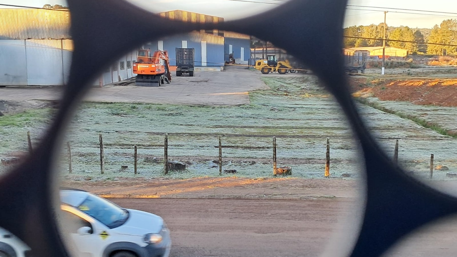
Paraná dawns with frost and negative temperatures; see images and weather forecast
G1 Globo📰 Related Articles

You know that unexpected event? Forget
CartaCapital
What are the best speakers for each type of listener?
CartaCapital
Best robot vacuum cleaners for every budget
CartaCapital
Blueair PetAir Pro: the pet bed that also purifies the air in your home
CartaCapital
DropsTec 06/17/2026 | Your daily roundup of technology news
CartaCapital