


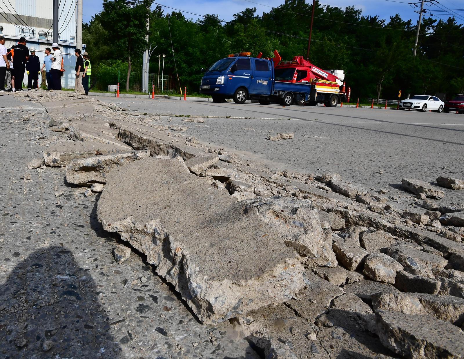
Humid southerly winds overlap in the ‘double heat dome’ of the upper and lower layers… It rose 6.1 degrees in a week.
⚡ Quick Summary
The severe heat wave warning, which first went into effect for Gyeongsan and Pohang in North Gyeongsang Province on the 12th, was first introduced on the 1st of last month as the heat wave warning system was reorganized for the first time in 18 years.
The severe heat wave warning, which first went into effect for Gyeongsan and Pohang in North Gyeongsang Province on the 12th, was first introduced on the 1st of last month as the heat wave warning system was reorganized for the first time in 18 years. For a severe heat wave warning to be issued, two conditions must be met. First, the daily maximum perceived temperature must be 35 degrees or higher for more than two days. It comes into effect when the daily maximum perceived temperature is 38 degrees or higher or the daily maximum temperature is 39 degrees or higher and is expected to last for more than one day. It was introduced for the purpose of warning of ‘extreme heat’, which cannot provide sufficient warning through the existing two-stage heat wave warning/warning system. Lee Mi-seon, head of the Korea Meteorological Administration, said in a briefing that day, “The severe heat wave warning does not simply mean that the weather is very hot,” and “It is a situation where the risk of serious damage, such as heat-related illness or death, is significantly high even for healthy people.” ● ‘Double high pressure’ covering the Korean Peninsula This heat wave occurred when the Tibetan High in the upper layer and the North Pacific High in the middle and lower layers covered the Korean Peninsula in the shape of a ‘double heat dome.’ There is a strong downdraft in which air moves downward within high pressure.
📰 Related Articles

US military “launches additional airstrikes on Iran”... sound of explosions again in various parts of Iran
Khan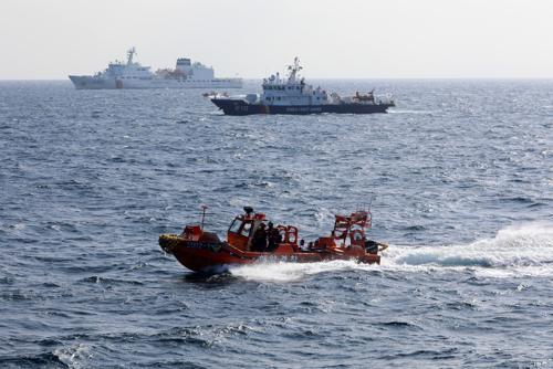
[Breaking News] Navy “Bodies of missing soldiers found and recovered in the East Sea”
Donga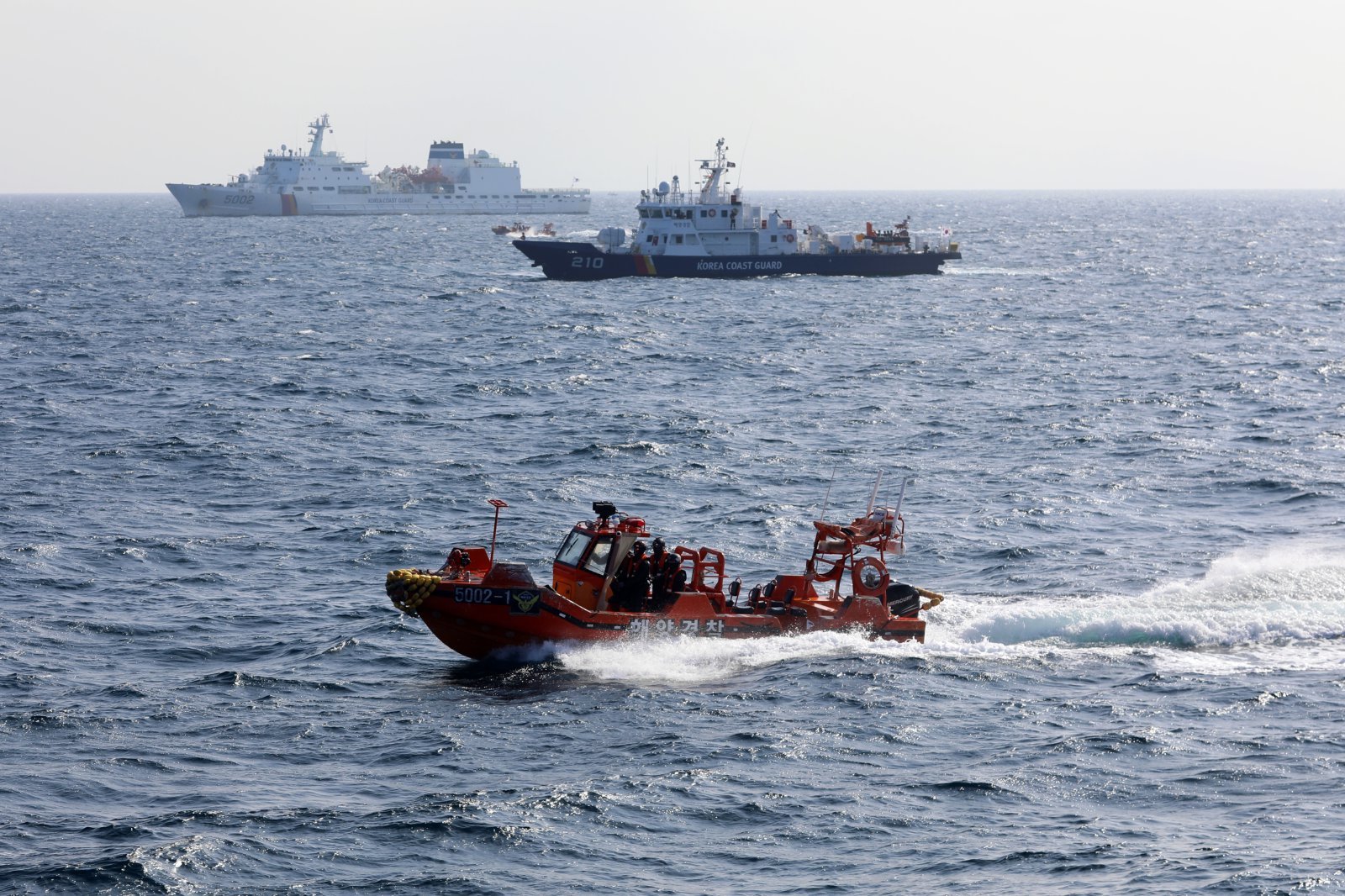
[Breaking News] Navy “Bodies of missing soldiers found and recovered in the East Sea”
Donga
The body of a missing naval ship crew member was found in the East Sea early this morning.
Yonhap
[World Cup] Iran coach Galenoei extends contract until the Asian Cup in January next year
Yonhap