Cold front can reduce temperatures and cause isolated rain in Goiás; see where
⚡ Quick Summary
A cold front that advances through the Southeast of the country could cause changes in the weather in Goiás in the coming days.
A cold front that advances through the Southeast of the country could cause changes in the weather in Goiás in the coming days. According to the Goiás Meteorological and Hydrological Information Center (Cimehgo), the system should favor the formation of areas of instability, mainly in the southwest and southeast regions of the state, with the possibility of isolated rain, winds and milder temperatures in the mornings.
According to Cimehgo manager, André Amorim, the cold front is expected to reach the state of São Paulo on Saturday (20) and, although it will not cause a sudden drop in temperature in Goiás, it could influence atmospheric conditions in the state.
"There is an expectation of the advance of this cold front. It will arrive in São Paulo and has the possibility of influencing the weather conditions here in the southwest and southeast part of the state", he explained.
✅ Click and follow the g1 GO channel on WhatsApp
See where the effects can be felt
According to Cimehgo, the regions most susceptible to the effects of the cold front are the southwest and southeast of Goiás. Municipalities in these regions include Rio Verde, Jataí, Mineiros, Santa Helena de Goiás, Catalão, Cristalina, Ipameri and Ouvidor.
In these areas, the combination between the advance of the system and the humidity present in the atmosphere can favor the formation of clouds and the occurrence of isolated rains.
In Goiânia and the central region of the state, the expectation is for more discreet impacts. According to André Amorim, there is a possibility of light rain or drizzle, with no large volumes expected.
"In the capital, in the most central part, possibly a light rain, a drizzle. A large volume of rain is not expected," he said.
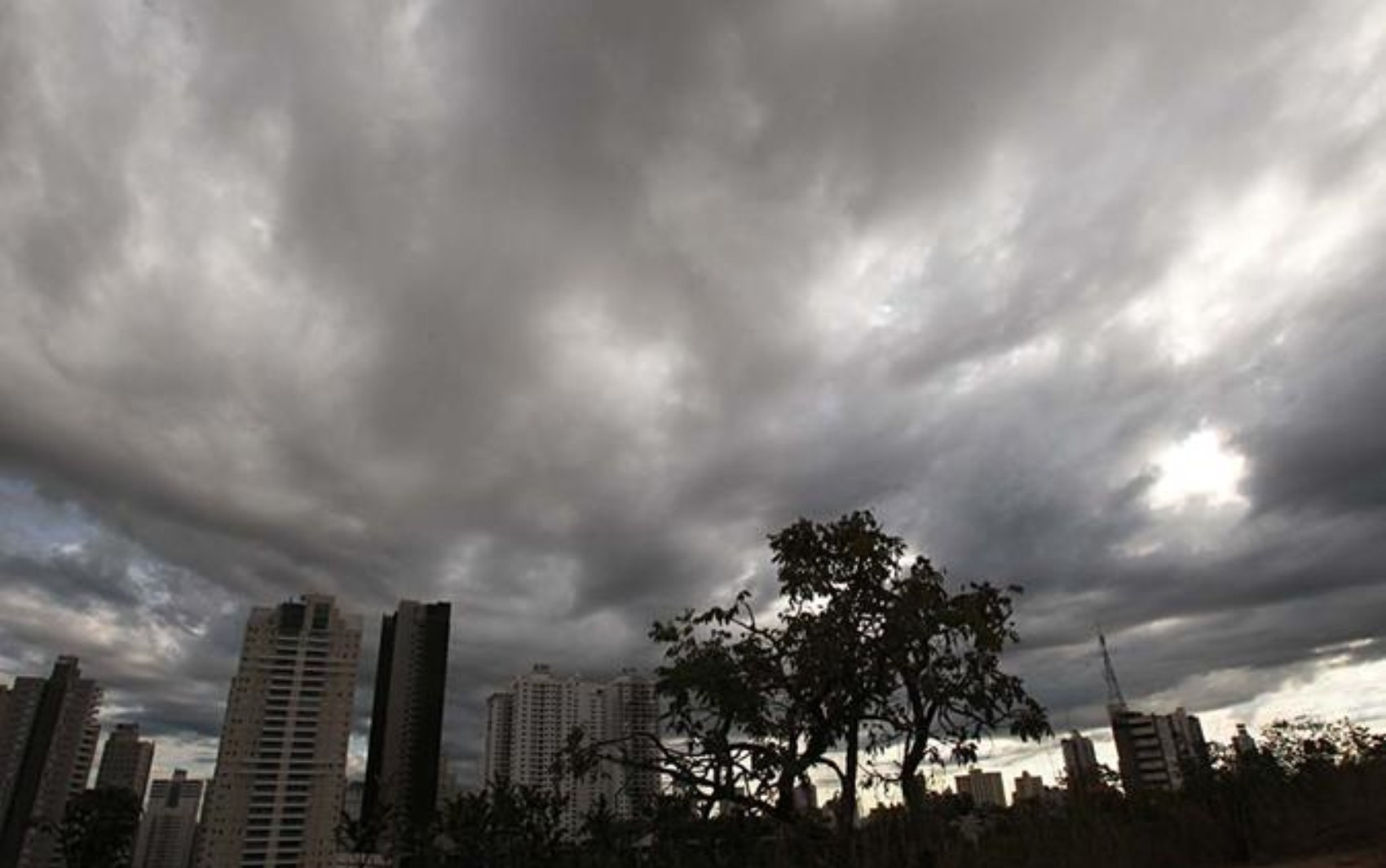
Heavy clouds over Goiânia; Cold front may favor increased cloudiness and isolated rain in part of Goiás in the coming days
Diomicio Gomes/O Popular
READ ALSO:
Goiás has a forecast of rain and cold in the coming days, says Cimehgo
Rain with gusts of wind and hail hits Greater Goiânia; video
Cold front could bring rain to Goiás; see where and when
Gusts of wind may occur
In addition to isolated rain, the arrival of the cold front may cause gusts of wind in some regions of the state.
According to the Cimehgo manager, the contrast between the colder air associated with the system and the high temperatures recorded in Goiás favors the formation of areas of instability.
"We are not expecting large volumes, but those gusts of wind can happen, because we already have a much warmer environment and every time you arrive with a colder environment, these areas of instability are generated", he explained.
A cold front could cause temperatures to drop in Goiás in the coming days. According to Cimehgo, mornings should remain cold, while afternoons will continue with higher temperatures
Fábio Lima/O Popular
Cooler mornings and warm afternoons
Even with the influence of the cold front, the main highlight of the forecast continues to be the thermal amplitude, a phenomenon characterized by the large difference between temperatures recorded in the morning and in the afternoon.
In cities in the south and southeast of Goiás, the minimum temperatures are expected to be between 15°C and 16°C, as in Jataí, Rio Verde, Mineiros, Ipameri and Cristalina. In Goiânia, the predicted minimum is 17°C.
During the afternoon, temperatures remain high, with maximums between 27°C and 30°C in most of these cities.
"What we are observing is the issue of thermal amplitude. We will have slightly lower temperatures in the morning and in the afternoon it will continue to be hot", highlighted André Amorim.
According to Cimehgo, this behavior should continue to predominate in Goiás over the next few weeks, especially during the months of June and July.
📱 See other news from the region on g1 Goiás.
VIDEOS: latest news from Goiás
📰 Related Articles

Alcolumbre signals vote on new ‘bomb agenda’ in the Senate next week
CartaCapital
Enel records more than 3 thousand cable thefts in five months of 2026
CNN Brasil
Big techs have 60 days to adapt to the new content accountability rules on social media
G1 Globo
VIDEO: Personal trainer saves choking student at Fortaleza gym
G1 Globo
Super Sete today: results of contest 861 and numbers drawn
G1 Globo