Heavy rain, lightning and wind: cold front increases instability in Campinas from this Thursday
⚡ Quick Summary
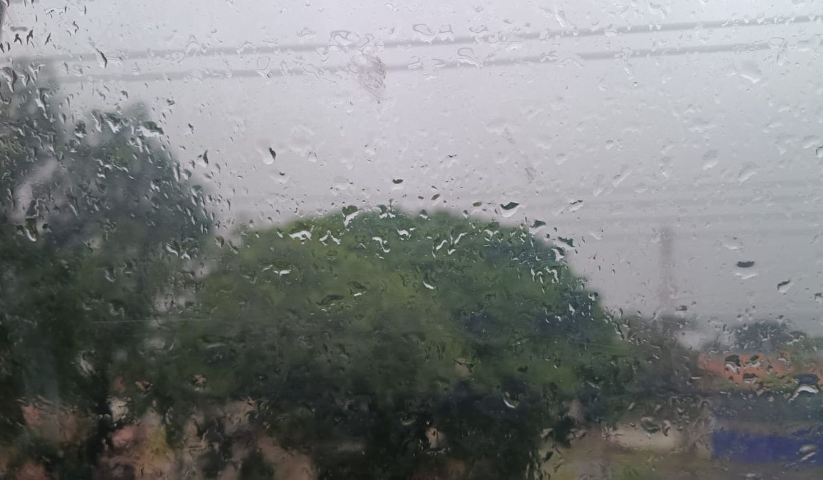
FILE IMAGE: rain in Campinas Fernando Evans/g1 The approach of a cold front should bring persistent rain to the region of Campinas (SP) starting this Thursday (11), according to the Center for Meteorological and Climate Research Applied to Agriculture (Cepagri).
FILE IMAGE: rain in Campinas
Fernando Evans/g1
The approach of a cold front should bring persistent rain to the region of Campinas (SP) starting this Thursday (11), according to the Center for Meteorological and Climate Research Applied to Agriculture (Cepagri).
The scenario should be intensified by the formation of an extratropical cyclone in the south of the country, which favors the entry of moisture into the state. Heavy rain is expected during the night or morning, with accumulations of 10 to 20 millimeters.
Below, see the weather forecast for the next few days in the region:
🌧️ Thursday (11): the sky should be predominantly cloudy, with continuous or recurring rain, well distributed geographically, mainly between dawn and early afternoon. Temperatures should stay between 16ºC and 21ºC with a feeling of cold throughout the day.
⛈️ Friday (12): instability should be reinforced with the possibility of storms. The region may experience storms mainly from the afternoon onwards, with strong to moderate winds, in addition to a high incidence of lightning. Thermometers must read between 15ºC and 21ºC.
🌧️ Weekend: the expectation for Saturday (13) and Sunday (14) is unstable weather, with lots of clouds, mild temperatures and low thermal amplitude. The variation should be between 15ºC and 23ºC and there is a chance of severe storms in the afternoon and evening.
Despite the rain, the period is dry
Cepagri recalls that, despite the unseasonal rain, the dry conditions and low rainfall in recent weeks raise an alert for the risk of fires.
Meteorologists warn against the use of fire to clear land, burning garbage, improperly disposing of cigarette butts and other practices that could spread fire.
VIDEOS: Everything about Campinas and the Region
See more news about the region on the g1 Campinas page.
📰 Related Articles

Young woman who reported being beaten by a businessman vents: ‘I still don’t feel safe’
G1 Globo
Woman arrested for child abuse is arrested again in operation against robbery gang in Cerquilho
G1 Globo
Cláudio Gastronomy Festival brings together music, typical foods and broadcast of Brazil's World Cup game; see the schedule
G1 Globo
PM who ran over and killed woman has sentence increased for murder in Acre
G1 Globo
Raphinha doesn't watch TV or social media and tries to shield young people from the national team
CNN Brasil